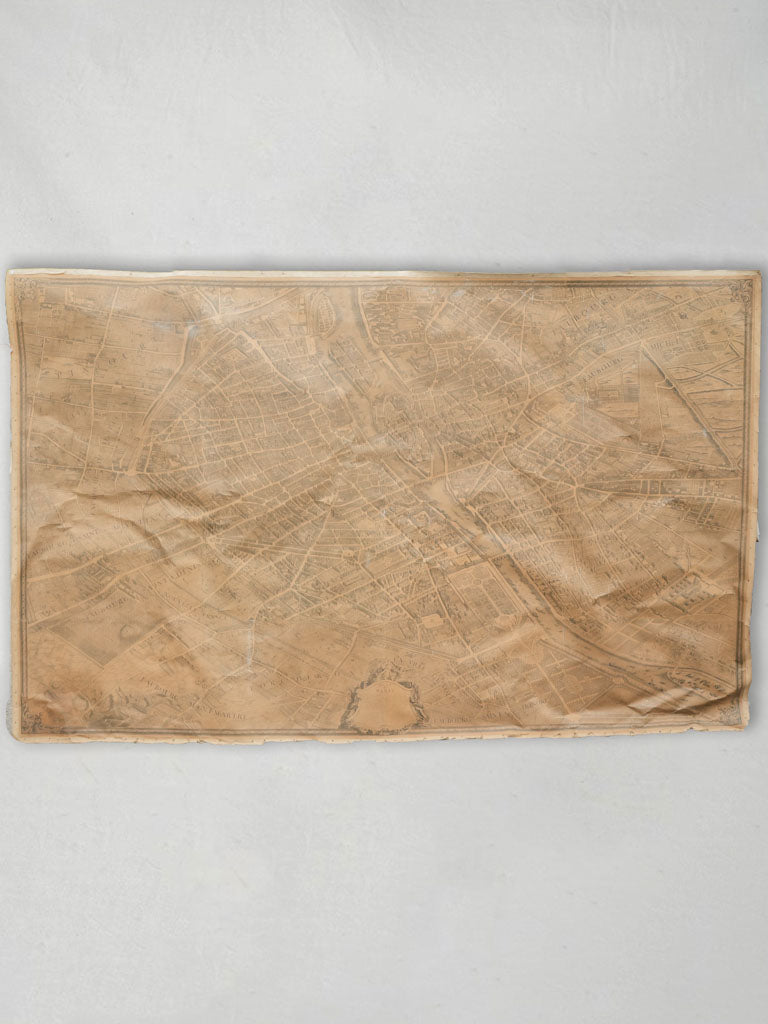

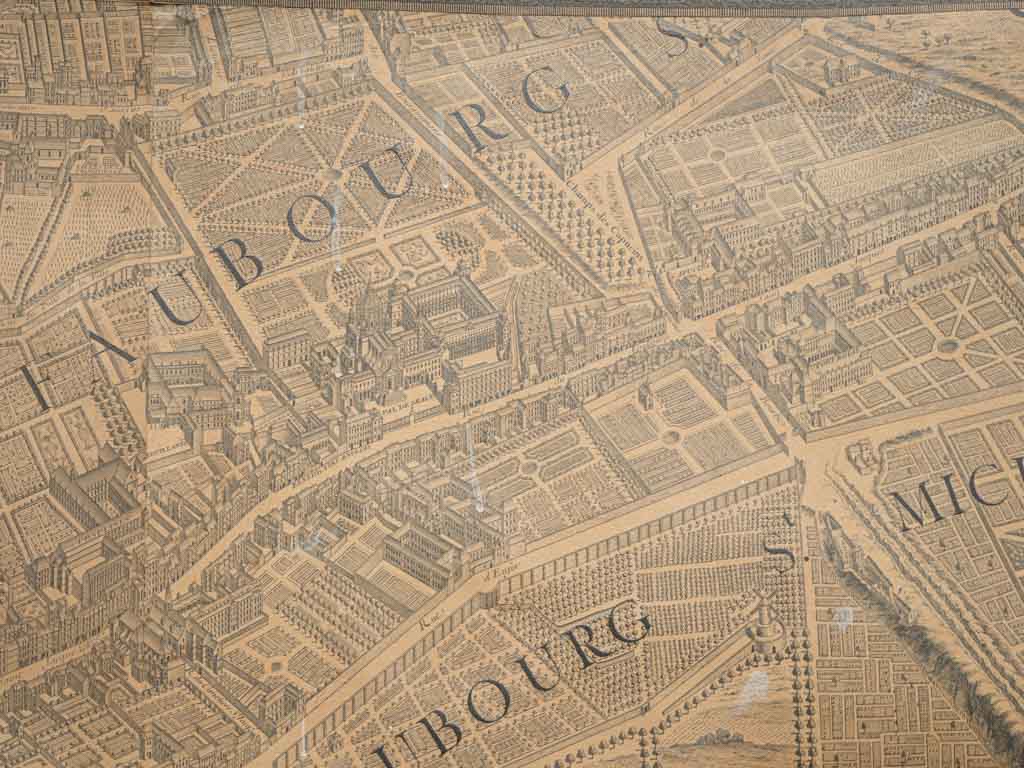
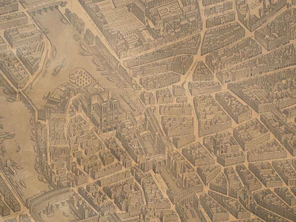
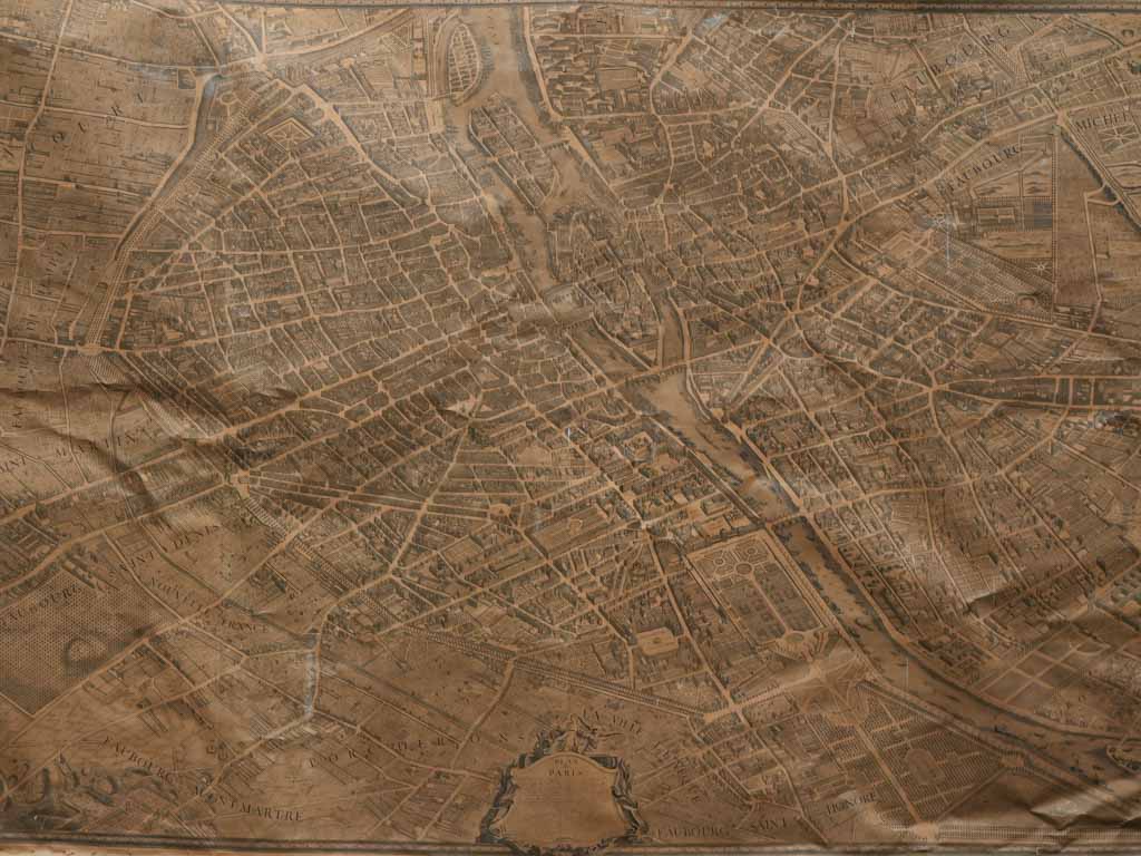
Turgot Map, 1739 - Isometric Engraving of Paris 82 x 128"
All inclusive pricing to USA
The price includes duties, taxes, tariffs and shipping. No more to pay for destinations within the US.
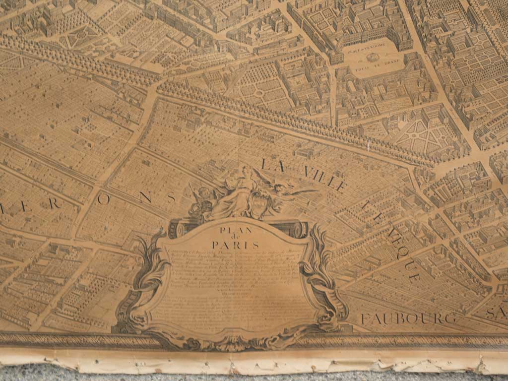
This monumental 1739 printed map of Paris, meticulously designed by Louis Bretez and engraved by Claude Lucas, offers an unparalleled bird's-eye view of the city during the reign of Louis XV. Composed of 16 engraved sheets of paper marouflé on canvas, this large-scale piece of urban cartography presents Paris before its iconic landmarks, such as the Eiffel Tower (constructed in 1889), were built.
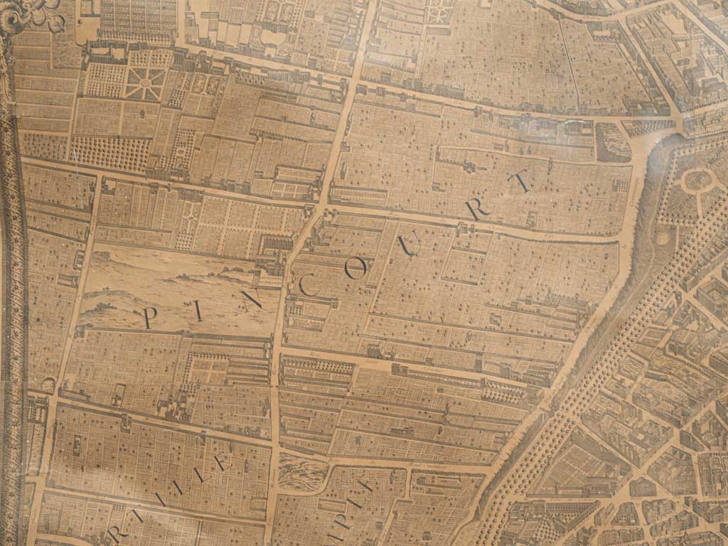
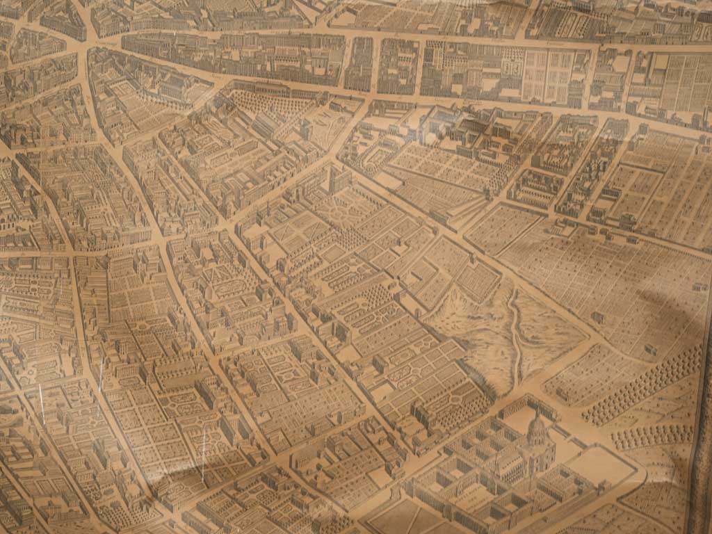
The Turgot Map, named after Michel-Étienne Turgot, the Prévôt des Marchands (chief of Paris merchants), who commissioned the map, is one of the most ambitious cartographic projects of the 18th century. Turgot aimed to showcase Paris’s grandeur to provincial and foreign elites. Louis Bretez, a member of the Royal Academy of Painting and Sculpture, specialized in perspective and was given unprecedented access to enter Parisian homes, gardens, and buildings for accurate measurements. This massive undertaking, completed over five years, produced an astonishingly detailed depiction of every street, building, and garden, down to individual trees.
Engraved by Claude Lucas in 1736, the Turgot Map was printed on 21 copper plates and is considered a masterpiece of urban mapping. Unlike many contemporary geometric maps, it uses isometric projection, preserving architectural details without distorting size based on distance. The map was not only a tool for urban planning but also served as a visual testament to Paris's architectural beauty. Copies of the map were presented to King Louis XV and distributed to foreign dignitaries, representing Paris as a center of culture and refinement.
Heavy wear and rustic condition consistent with age and use.
Approx. overall 128" high x 82"
Approx. overall 325cm high x 208cm
Choose options


Turgot Map, 1739 - Isometric Engraving of Paris 82 x 128"
Sale priceUS$4,715

