19th-century, 1884 Wall Map of Département de la Drôme 78¾"
All inclusive pricing to USA
The price includes duties, taxes, tariffs and shipping. No more to pay for destinations within the US.
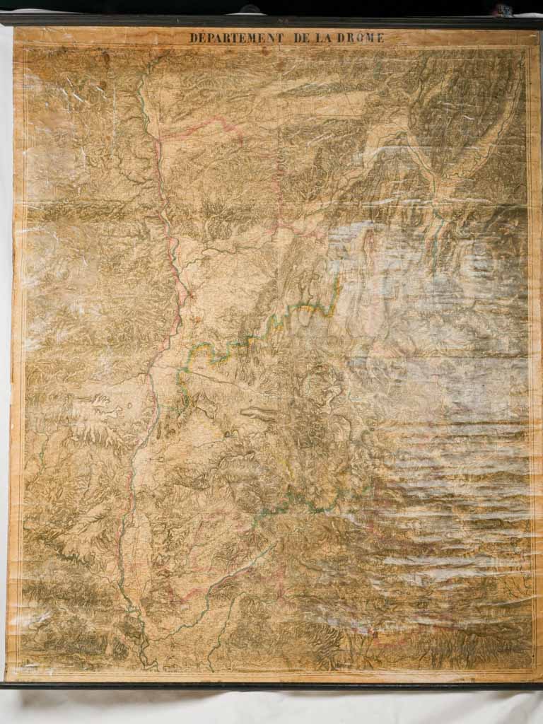
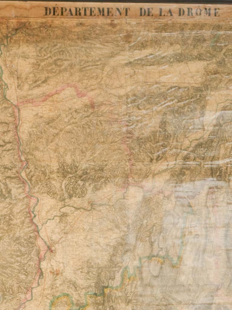
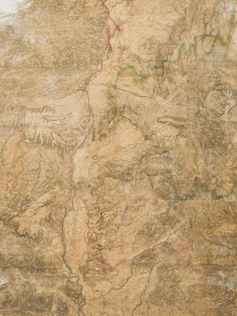
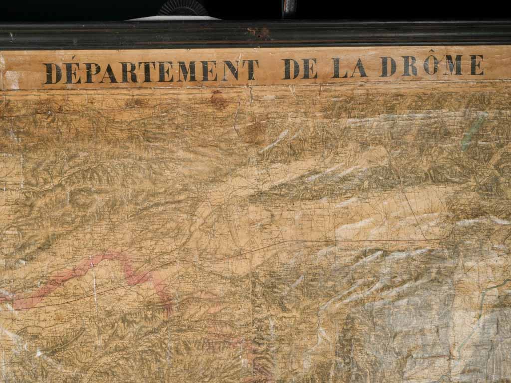
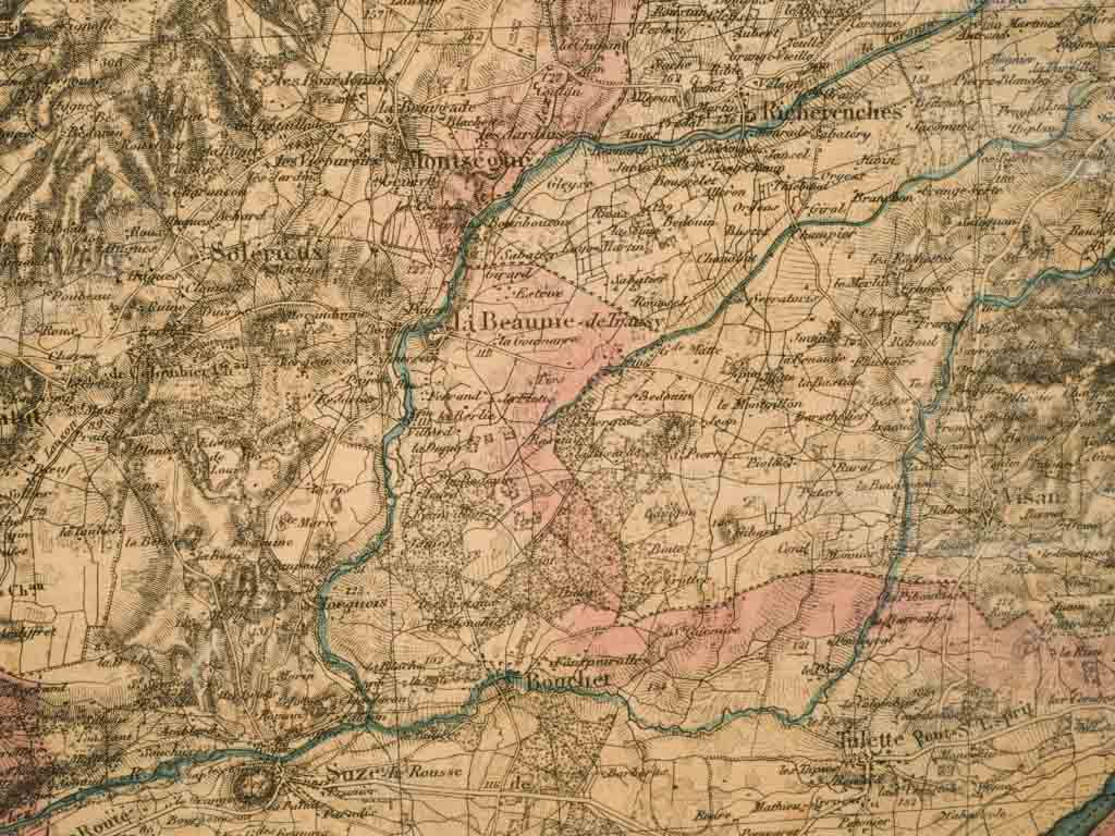
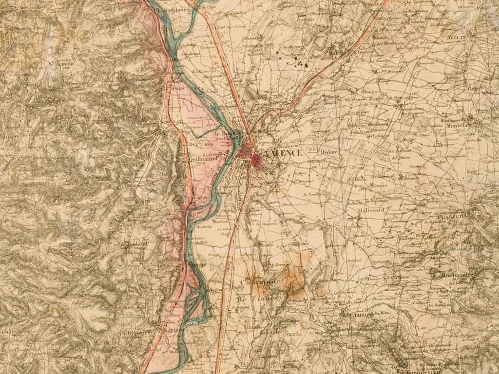
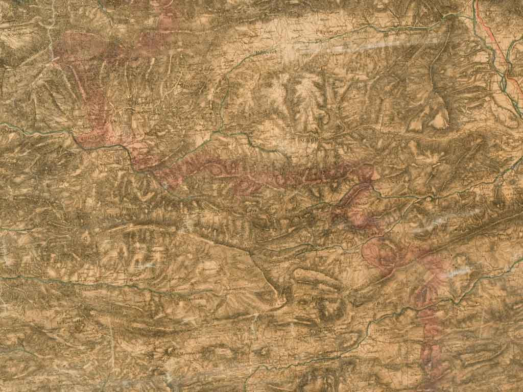
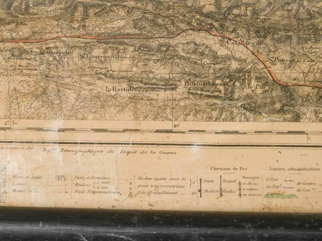
This large, richly detailed 1884 wall map of the Département de la Drôme offers a captivating glimpse into 19th-century France. Crafted with exceptional precision, this piece is paper marouflé on canvas—a technique in which the paper map is mounted onto canvas for added durability and texture, giving it a museum-quality presence. To facilitate rolling and unrolling, the map is fitted with black wooden dowels at the top and bottom, allowing it to be easily displayed or stored.
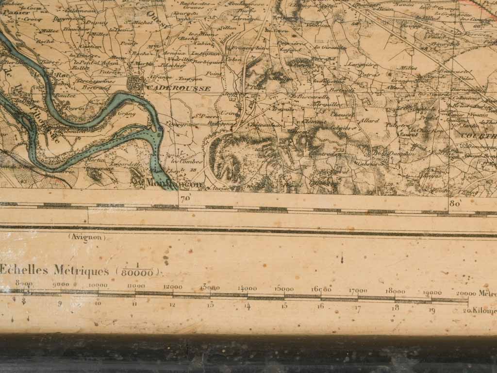
The map showcases the varied terrain of Drôme, including rivers, mountains, valleys, and major routes, all rendered in fine detail. Its faded sepia tones and hand-colored borders enhance its authentic, aged patina, while the printed title "Département de la Drôme" adds a bold header. Intricate shading brings the geographical features to life, highlighting the topography and distinct regions of Drôme in southeast France.
Perfect for history enthusiasts, cartography collectors, or anyone seeking a unique and elegant wall piece, this map’s warm tones, marouflé texture, and historical character make it ideal for a study, library, or living room with vintage or industrial decor. The addition of the black wood dowels adds both functionality and charm, making it a beautiful and practical piece of France’s cartographic heritage.
Condition and wear consistent with age and use.
Approx. 78¾" high x 67" wide
Approx. 200cm high x 170cm wide
19th-century, 1884 Wall Map of Département de la Drôme 78¾"
Sale priceUS$4,490
Choose options
19th-century, 1884 Wall Map of Département de la Drôme 78¾"
Sale priceUS$4,490